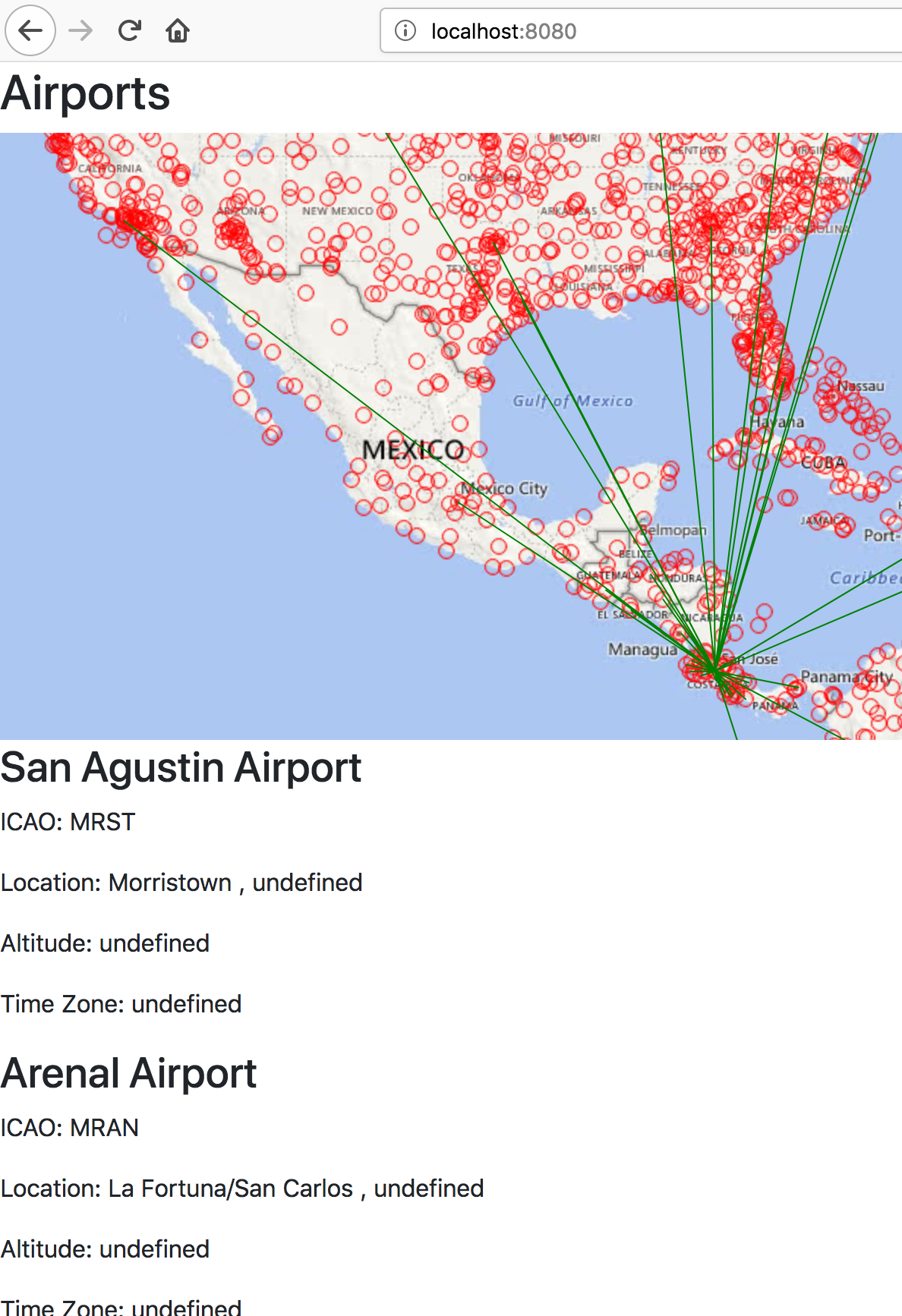
Your goal is to add an additional layer that shows flight routes and display it on the map. This time we will incorporate our map into a Spring Boot project. We will store geographic data in our Postgresql database. Some starter code has been provided for you.
What is PostGIS?
PostGIS is a spatial database extension for PostgreSQL object-relational database. PostGIS adds support for geographic objects in Postgresql. This includes features such as georgraphic data types, location functions, and location based querying.
Install PostGIS Container
If you don’t already have a PostGIS container installed checkout the Installation: Docker PostGIS.
Create a Database for the Airwaze Data
Make sure the PostGIS container is the only container running that is listening on port 5432. You can check this with $ docker ps -a
Connect to the PostGIS Container
Run $ psql -h 127.0.0.1 -U psq_user -d postgres to access the PSQL CLI.
Run the Create Command
Then in the postgres termainl run this to create a new database:
postgres=# CREATE DATABASE airwaze;
Also create a database for your tests:
postgres=# CREATE DATABASE airwaze_test;
Enable Geospatial Extensions in the Airwaze Database
Now we want to install the geospatial extensions to Postgres for the airwaze db.
From the PSQL CLI:
# CONNECT TO AIRWAZE DB
postgres=# \c airwaze;

# CREATE GEOSPATIAL EXTENSIONS
airwaze=# CREATE EXTENSION postgis;
airwaze=# CREATE EXTENSION postgis_topology;
airwaze=# CREATE EXTENSION fuzzystrmatch;
airwaze=# CREATE EXTENSION postgis_tiger_geocoder;
Make sure that everything installed correctly by running this query
- Remember to do that for your test database airwaze_test as well!:
airwaze=# SELECT POSTGIS_FULL_VERSION();
Review import.sql and CSV files
This application uses Spring Boot and Spring Data. When the project boots up, if you have a src/main/resources/import.sql file, it will automatically be executed against your database by hibernate.
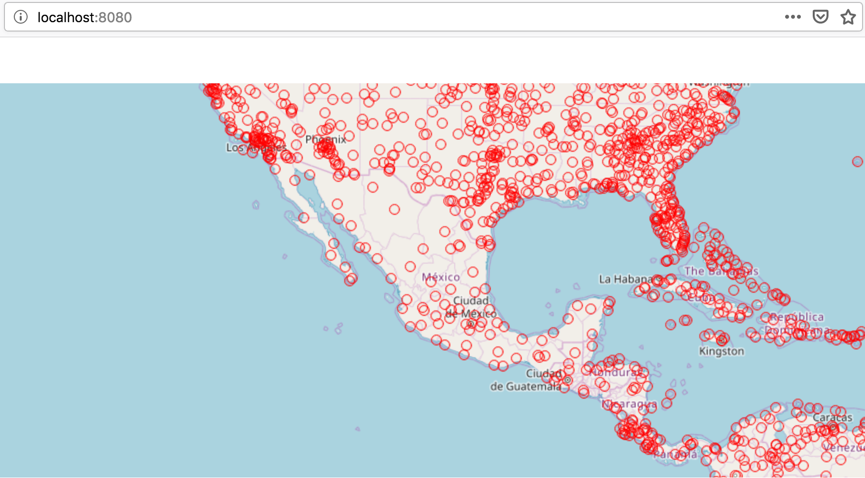
The import.sql file in this project contains SQL statements that import CSV data into SQL tables. Please take a minute to review import.sql and the two .csv files.
- Review the
import.sql file in the airwaze project
We are using a PostGIS docker container. Althought it is installed on our computer, docker is a virtualization/containerization tool, so our PostGIS container is unaware of any other files on our computer. We will need to COPY our CSV files to a location our PostGIS container can work with.
Luckily docker gives us an easy way to do this.
- From the root directory of airwaze-studio run
$ docker cp Airports.csv postgis:/tmp
- And also run
$ docker cp routes.csv postgis:/tmp
The cp command in docker stands for copy. We are copying the two CSV files into a directory called /tmp inside of our container.
- Be sure that the
import.sql points to the copies of airports.csv and routes.csv in your container
- Open the
csv files to see what data is being imported for routes and airports
Review the Tables and Data in Postgis
Open a psql prompt connected to airwaze database and then run these commands one at a time:
airwaze=# select count(*) from route;
airwaze=# select count(*) from airport;
airwaze=# \d
airwaze=# \d airport
airwaze=# \d route