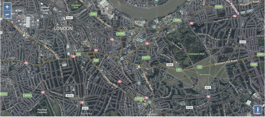
class: center, middle # Day 5 ### APIs --- ## APIs * How machines communicate on the internet. -- * We're going to be looking specifically about how machines communicate geospatial data. --- ## GeoJSON * Data format standardized in 2007. * JSON code written to a specific format to comply with the standard. -- ``` { "type": "FeatureCollection", "features": [ { "type": "Feature", "geometry": { "type": "Point", "coordinates": [102.0, 0.5] }, "properties": { "name": "St Louis Lambert Int Airport", "abreviation": "STL" } }, ] } ``` --- ## Breaking GeoJSON Down FeatureCollection -- * `Type` - `FeatureCollection` * `features` - List of features * `geometry` - A Point, Linestring, or Polygon. * `properties` - Data about the location on the map. -- MultiGeometry * `Type` - `MultiGeometries` * `geometries` - List of geometries (like a political border) * contain multiple lines or multiple polygons --- ## Geometry Types * Point - a spot on the map (one coordinate) -- * LineString - a line drawn across a map (multple coordinates) -- * Polygon - a series of points that enclose an area (multple coordinates) -- * MultiPolygon - you guessed it, multiple polygons that makeup one feature (like the shapes of the USA) -- * [Examples here](https://macwright.org/2015/03/23/geojson-second-bite#geometry) --- ## WMS - Web Map Service * Open protocol that provides a standard way of requesting map data. * `GetCapabilities` - allows a client to ask about how the map server can be configured to serve map data. * `GetMap` - returns a map image. ***WMS provides an endpoint from which you can get Maps.*** --- ## OpenLayers OpenLayers is an open source javascript library that allows you to easily work with Maps in a browser. ``` var map = new ol.Map({ layers: layers, loadTilesWhileInteracting: true, target: 'map', view: new ol.View({ center: [-6655.5402445057125, 6709968.258934638], zoom: 13 }) }); ``` --- ## OpenLayers Layers After you have a base map, you can add as many layers to it as you like ``` let bingLayer = new ol.layer.Tile({ visible: true, preload: Infinity, source: new ol.source.BingMaps({ key: 'AsJ83NnvqsJdSmURSKt3ySErannO79P9g0V-AeoA1Ojc8dc60ogLqMtb1FL2DQrG', imagerySet: 'Road' }) }); ```  --- ## jQuery jQuery is a lightweight JavaScript library for interacting with the DOM * Helpful methods ``` $('.blue'); // all elements on page with CSS class of blue $('#map'); // all elements on page with ID of 'map' $('#text').val(); // get value from input field with ID .text $('#map').append('</br>'); // add </br> tag to the map div $('#map').css('color', 'green'); // map div is green $('#map').on('click', function() {... // listen for click on map div ``` --- ## jQuery - AJAX AJAX allows the client to send to the server without causing entire page to refresh ``` $.ajax({ method: "GET", url: "/routes", }).done(function( msg ) { alert( "Data " + msg) }); ``` ``` $.ajax({ method: "POST", url: "/routes", data: { name: "route1", type: "road" } }).done(function( msg ) { alert( "Data Saved: " + msg ); }); ``` --- ## Walkthrough A project using a WMS, jQuery, and GeoJSON.